What major river runs through Amsterdam
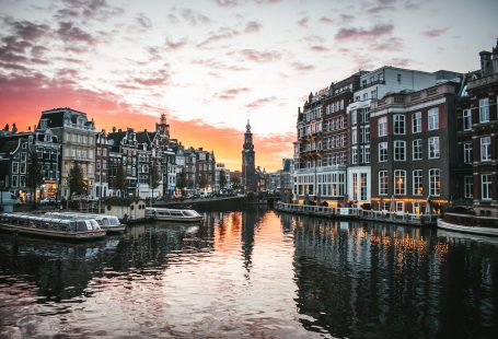
Amsterdam is renowned for its vibrant gardens, abundant bicycles and intricate canal system. Its historical center has been designated a UNESCO World Heritage Site and it’s become an increasingly popular destination for European river cruising enthusiasts.
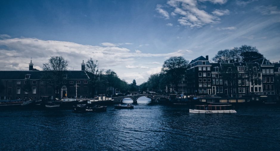
The Amstel is a major tributary of the Rhine that runs south to north through Amsterdam. It forms part of the main route connecting Amsterdam with the North Sea, joining up with Bullewijk and Weespertrekvaart before entering Amsterdam’s city centre. Surrounded by numerous bridges connecting different areas within Amsterdam, its waters flow into this peaceful oasis.
Historically, the Amstel was composed of two rivers: an Oer-IJ connected channel draining from Stopera to the north and a peat draining channel from Watergraafsmeer to the south (de Bont, 2008). A relatively straight section of Amstel now within urban areas has been interpreted as manmade between 11th and 13th centuries AD by soil scientists, historical geographers and historians alike.
The Amstel system originated in the Rhine delta around 3000 years ago. It drained until 220-400 AD via Oer-IJ estuary into the North Sea; however, due to coastal barriers being removed the Amstel shifted further east and the Oer-IJ estuary closed down. Wave erosion of adjacent peat caused a brackish interior sea known as Zuiderzee (Fig. 1). The Amstel then drain into remnants of the Oer-IJ estuary, eventually becoming part of what would later be known as ‘IJ’ (de Gans & Bunnik, 2012). Before Middle Ages arrived, however, this natural channel had an average water depth of 6 metres and sediment supply level around 3.5 metres (Veerkamp 1998). Today it has been reclaimed marshland area which has been flooded by several artificial lakes for irrigation purposes (de Gans & Bunnik 2012).